
Marine navigation for Android
General Information
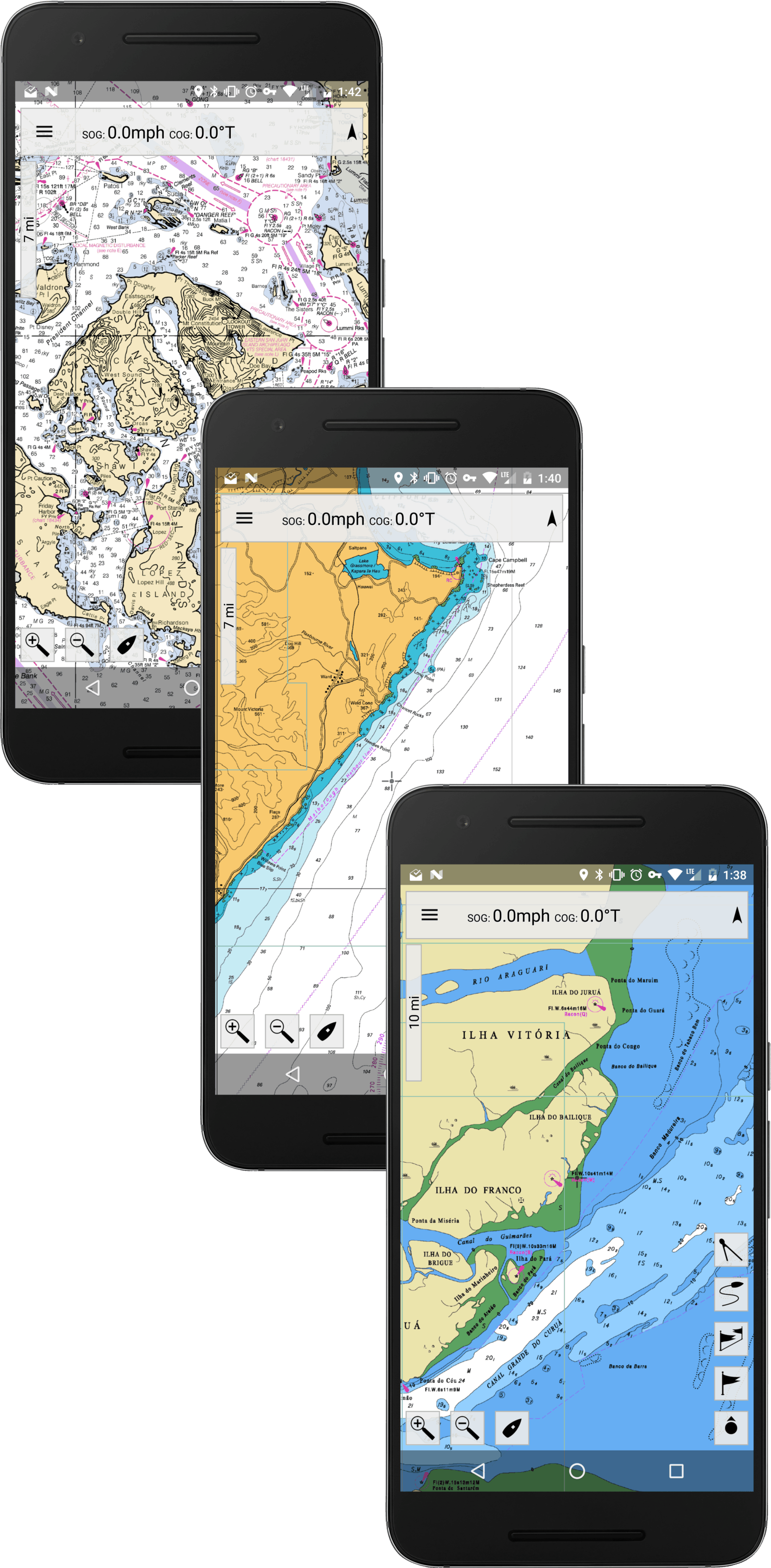
MX Mariner is a basic chart plotting program for Android.
- There are 3 map modes: Offline Raster Charts, Road map, and Satellite
- Raster Chart mode works 100% offline (after initial one time chart region download)
- Road map mode requires an internet / data connection
- Satellite mode requires an internet / data connection
- ActiveCaptain interactive cruising guidebook
- Create and navigate routes and points
- Create and view tracks
- Measure tool
- Configurable units of measure and "World Magnetic Model"
© 2025 MX Mariner